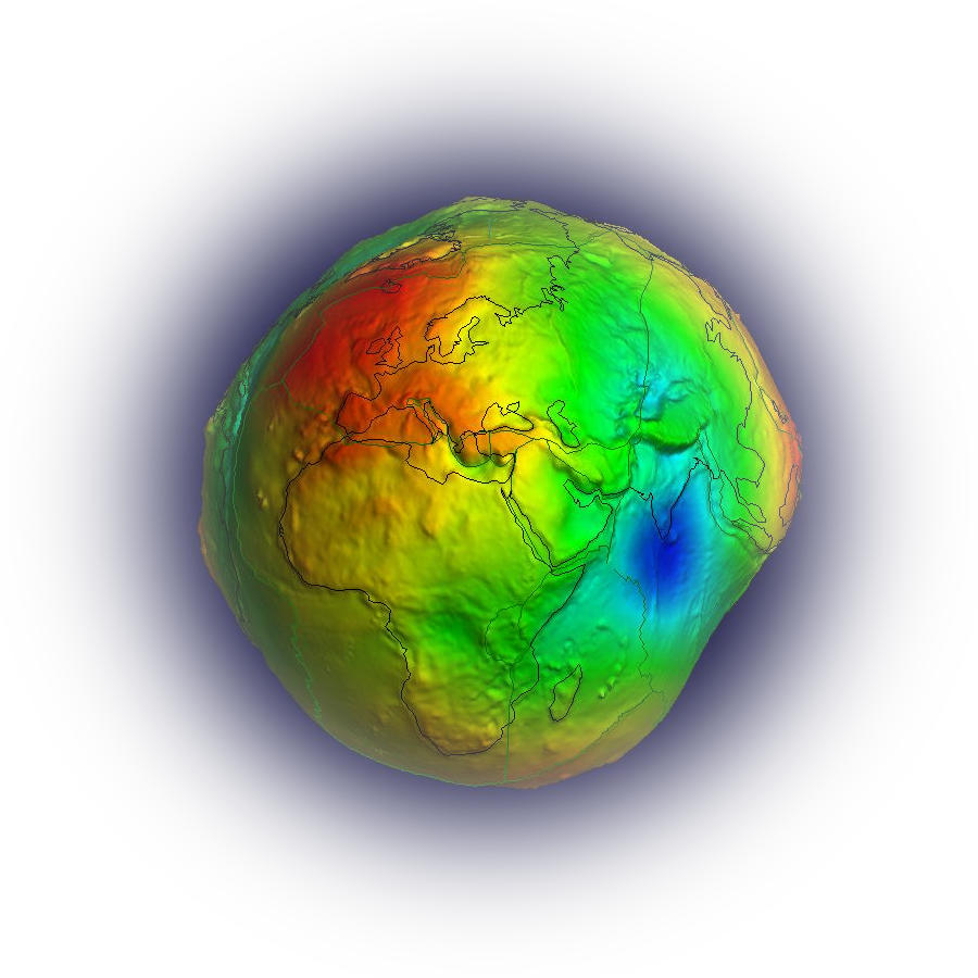
Global Gravity Field Models
We kindly ask the authors of the models to check the links to the original websites of the models from time to time.
Please let us know if something has changed.
The table can be interactively re-sorted by clicking on the column header fields (Nr, Model, Year, Degree, Data, Reference).
In the data column, the datasets used in the development of the models are summarized, where
A is for altimetry,
S is for satellite (e.g., GRACE, GOCE, LAGEOS),
G for ground data (e.g., terrestrial, shipborne and airborne measurements) and
T is for topography.


